GSAA Launches New HVA Product
Posted by Kristine on Jul 16, 2014 in Uncategorized | 0 comments
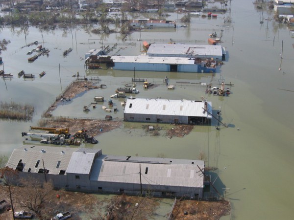
The GSAA has launched a new tool for assessing the South Atlantic’s vulnerability to coastal hazards through a collaborative effort of the states and the region’s academic institutions. The GSAA’s Hazard Vulnerability Assessment (HVA) provides a geospatial tool that can be used by federal, state, and local coastal managers and scientists to improve comprehensive hazard mitigation planning and post-disaster redevelopment, as well as determine areas best suited for restoration and mitigation projects. HVA can aid decision makers before, during, and after severe weather events, by providing a better understanding of coastal change and risk areas. GSAA partners have tested the HVA in pilot areas in each of the four states and results from the pilot studies are available on the GSAA Coast and Ocean Portal. You can learn more about the HVA tool and obtain software for quantifying vulnerability and shoreline change at the HVA web site.
The HVA evaluates coastal hazard vulnerability from four hazards: storm surge, shoreline change rate (erosion or accretion), flooding, and social/economic vulnerability (SoVI®). The final product is a vulnerability index on a scale of 1 to 5 (1 being the least risk, 5 being the most risk). In addition to this composite product, HVA also includes products for Inundation (surge + flooding), Inundation + SoVI®, and Shoreline Change (rate, plus temporal and spatial variations). Users can examine each hazard component to see what has the most impact in any given area.
The HVA project team, led by Skidaway Institute of Oceanography, included researchers from Georgia Southern University, East Carolina University, SC Geological Survey, and the University of Florida.
