
Healthy Ecosystems
The South Atlantic supports a diverse array of coastal and marine environments vital to the ecological and economic stability and sustainability of the Southeast. The Alliance will undertake activities to:
- Enhance and support ecosystem‐based management for the biological resources of the region;
- Improve ecosystem structure and function by developing and applying sound scientific data to support habitat conservation, enhancement, and restoration;
- Increase understanding of the scope and scale of the region’s human and natural resources; and
- Develop communication networks, research frameworks, and outreach/education initiatives.
Prioritized Actions for 2014
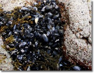
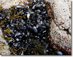
- HE1A – Develop coordinated state programs to map known distributions of key estuarine and marine habitats and land use cover in the coastal watersheds of each state, and distribution of key species of management concern using a common set of standards and attributes.
- HE1B – Develop an integrated database that captures existing state, federal and NGO monitoring metadata for programs that are ongoing or long-term.
- HE3A – Initiate a joint federal-state agency marine spatial plan that identifies the location of key coastal and marine resources and activities for incorporation into multi-use management decisions.
- HE4A2 – Identify and compile state plans to remediate existing introductions where feasible and prevent future introductions.
HE Snap Shots
HE1A Estuarine Data HE2A Development Impacts HE3A Regional Resources
Prioritized Actions for 2013
- HE1A – Map known distributions of key estuarine/marine habitats/land use cover in each state: determine spatial extent (beach-out first), develop query template for states to capture all appropriate data elements, summarize, and identify common concerns.
- HE3A – Marine spatial plan for location of key coastal/marine resources and activities for multi-use management decisions: identify major activities (shipping lanes, artificial reefs, ocean disposal areas, sand borrow areas, military use, etc.), determine locations and what data exists, and determine common framework of mapping standards and how to bring data into portal.
TECHNICAL TEAM
STATE REPRESENTATIVES
Anne Deaton – NC Dept. of Environment and Natural Resources
Denise Sanger – SC Dept. of Natural Resources
Pat Geer (Team Lead) – GA Dept. of Natural Resources
Amber Whittle – FL Fish and Wildlife Conservation CommissionFEDERAL REPRESENTATIVES
Pace Wilber – Dept. of Commerce/National Oceanic and Atmospheric Administration
Wilson Laney – Dept. of the Interior/U.S. Fish and Wildlife Service
Jennifer Derby – Environmental Protection Agency
Mark Wolff – U.S. Dept. of Defense/U.S. Army Corps of EngineersADDITIONAL MEMBERS
Elizabeth von Kolnitz – SC Department of Health & Environmental Control
C. Anna Toline – Dept. of the Interior/U.S. National Park Service
Roger Pugliese – South Atlantic Fishery Management Council
Debra Hernandez – Southeast Coastal Ocean Observing Regional Association